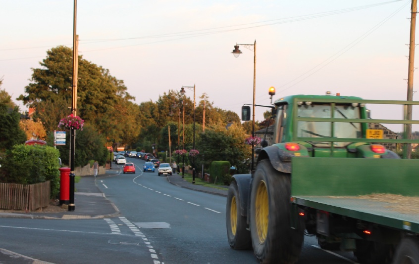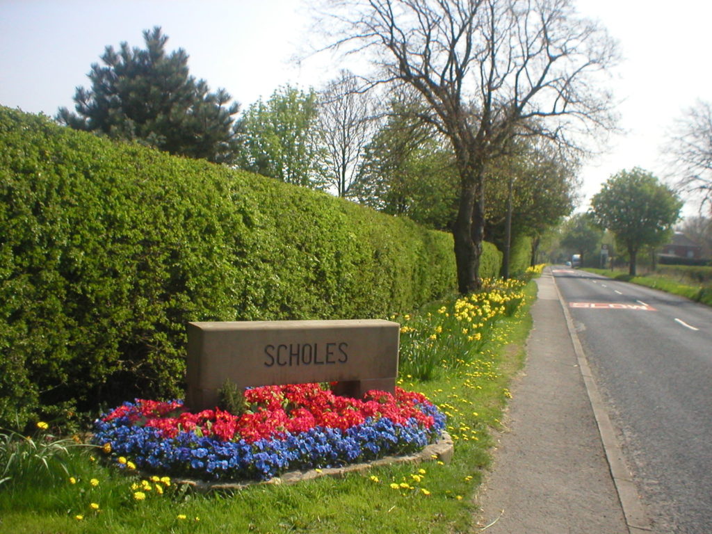
Scholes is located approximately 11 kilometres (7 miles) to the northeast of Leeds city centre and is accessed most readily via the A64. The village is now located in Barwick in Elmet and Scholes Parish. Consisting of approx. 1,000 houses the rural stetting still retains its village appeal. With an excellent Junior School, Village Hall, two churches, doctors surgery and two pubs. There are many local organisations that provide for leisure, social and sporting tastes. (visit our Local Organisations web-page ) for contact details.
The name ‘Scholes’ is a plural of Old Norse skáli meaning “temporary shed” which later became a staging point where horses would be changed and passenger could take a short break.
In the 1800s, Colonel Frederick Trench-Gascoigne (of Parlington Hall, Aberford) owned and rented out a large number of houses, mines, woodlands and farming land in the areas of Scholes, Swarcliffe, Barnbow, Garforth, Barwick-in-Elmet, Cross Gates, and Whinmoor.
In the mid-1880s, a previous occupant of the Seacroft windmill, Isaac Chippindale, started the Scholes Brick and Tile Works on Wood Lane, on the border to Swarcliffe. The company’s quarry produced high-quality bricks with which many houses in the surrounding area were built. Its kilns and house were demolished in the early 1980s, leaving two small fishing lakes, but is still known as “Chippy’s Quarry” However Chippy’s Quarry lies just outside the present parish boundary.
The Crossgates to Wetherby railway opened in 1874 with a station in Scholes, enabling residents to commute to Leeds and after the Great War more villagers started to travel there for work or school. A great number of Barwick in Elmet residents would walk every day to Scholes to take the train into Leeds. In circa 1904 Arthur Chippendale a local brick manufacturer started building a new hamlet near the station which was known as Arthursdale. As the start of World War II approached a new bus service to Leeds was introduced which served the villages.
1920s also saw the introduction of water, electricity, gas, mains sewage and telephones to the village, but it wasn’t until post war years that the village saw significant expansion. In the last 100 years the villages have been transformed from farming and mining communities into commuter settlements and places of retirement, although the parish still includes several working farms producing wheat, barley, oilseed rape and potatoes, with some rearing of poultry and cattle.
The railway line was closed in 1964 and the station became ‘The Buffers’ public house in the 1970’s
Barwick in Elmet Historical Society have many articles that may be of interest. Visit: www.elmethistoricalsociety.com.
Click HERE to view a map of the whole Parish
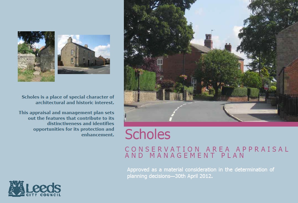
Scholes Conservation Area
The conservation area originally developed as a distinct rural village set within open countryside. This linear development along Main Street was in the late 19th century made up of high status properties and independent farm complexes.
Throughout the 20th century suburban development and infill resulted in the rural and informal character of the settlement becoming more formal and evenly spaced. Within the historic core the linear type of settlement still dominated due to the importance of Main Street as a through road.
The village on the whole developed more substantially to the north-west with extensive inter-war and post-war suburban cul-de-sac style building projects.
View the Published Conservation Area Document
opens in new window
The full document for the conservation area was published in 2012 by Leeds City Council.